Ahora rentando apartamentos de 2 habitaciones • Excelente ubicación • Vida asequible
The Hurricane Hunters are flying into this weekend’s winter storm to gather data, aiming to enhance forecasts for potential widespread icing and community impacts.
ATLANTA — It might sound crazy, but even NOAA’s Hurricane Hunters are interested in this weekend’s winter storm.
“This is a really high impact event with potential of widespread icing,” said meteorologist Jonathan Zawislak, NOAA Hurricane Hunter and flight director of Friday’s mission. “Snowfall, significant impacts to communities. So we’re out there to improve the forecast, whether it’s summer or winter.”
Zawislak and his crew of seven plans to depart Lakeland, Florida, Thursday afternoon on board NOAA’s Gulfstream IV-SP aircraft, which is a high altitude jet that has been converted into an atmospheric science laboratory.
“We start at about 39,000 feet and we’ll be climbing as we burn the gas and get a little bit lighter, we’ll be able to climb up to about 44 or 45,000 feet,” he said. “The higher, the better for us. The deeper the observations, the more profile, the more of the atmosphere we’re actually sampling.”
The data they collect will be fed into the Global Forecast System weather model, or GFS. Often called “the American model,” it is one of several forecasters use to predict what impacts the storm may bring.

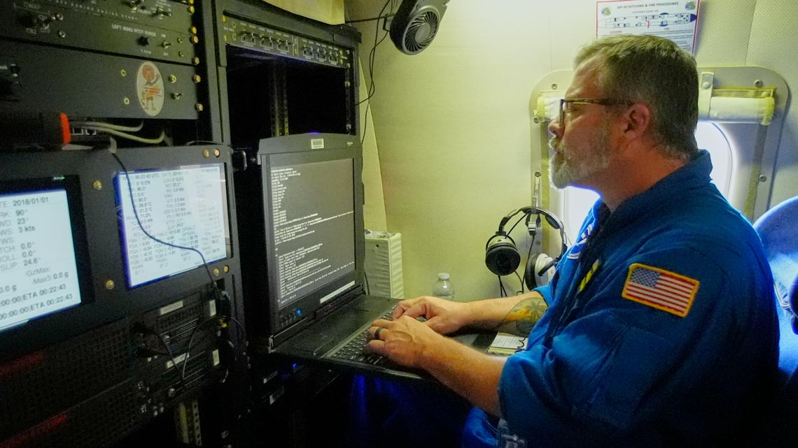
One of the key ingredients: how much moisture is in the atmosphere.
“So moisture translates to rainfall, it translates to snowfall or the amount of ice that may fall in some of these areas,” said Zawislak. “So we really need to understand the moisture content.”
The Hurricane Hunters will also be profiling wind speed and direction, to get a better idea of the wind field driving the system.
“We need to look over a larger area because these storms don’t develop on a small scale, they develop on a larger scale and the aircraft really allow us to do that,” he said.

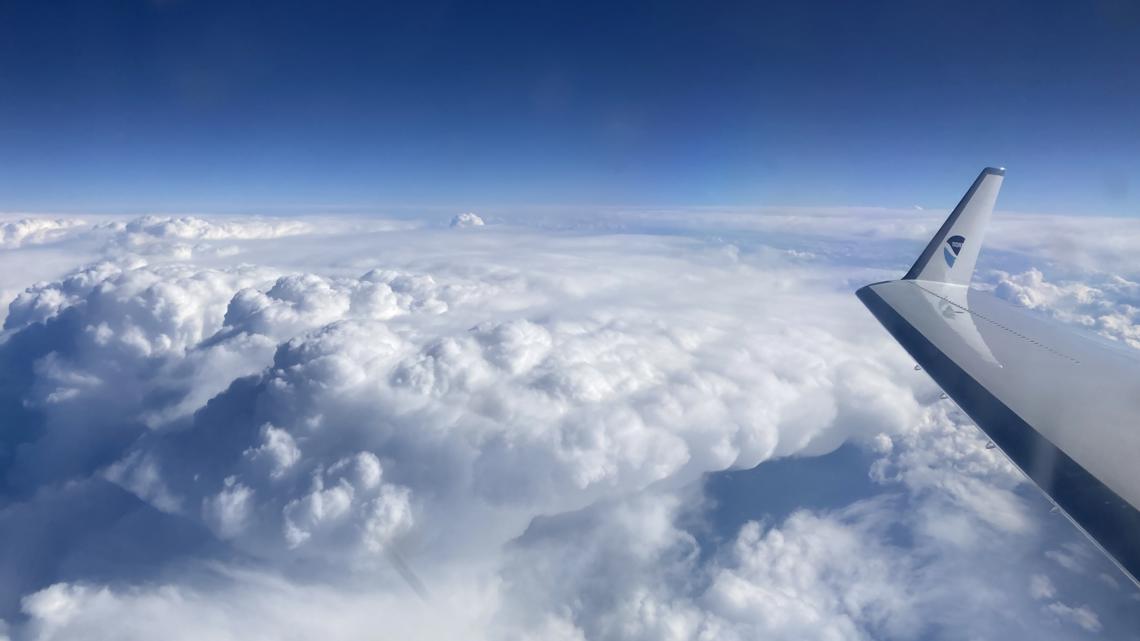
Zawislak added that it’s not uncommon for the Hurricane Hunters to fly into weather events other than hurricanes. However, they are usually focused on the Pacific Ocean.
“We’ve actually been flying atmospheric river events and winter storm reconnaissance for many years,” he said. “Typically we’ve operated out of the Pacific and we’ll be operating out of the Pacific coming next month where we’re going to be looking at the events hitting the West in the United States. And those are really high impact events. We have a lot of flooding, a lot of snowfall, beach erosion.”
As for this mission, Zawislak said they may need to fly more than once to get the data they need to potentially save lives.
“We’re trying to get well ahead of the storm before it even has impacts, giving the time there’s two to three days for the model to improve.”
MORE WEATHER RESOURCES:
💌 Mantente al Día con lo Último del Entretenimiento Latino
Recibe noticias exclusivas de celebridades latinas, chismes virales, belleza, moda y entretenimiento — directo en tu correo.
Sin spam. Solo lo mejor de Atlanta Latinos Magazine.